SSCCR Team Participates in National Geodetic Project Conference
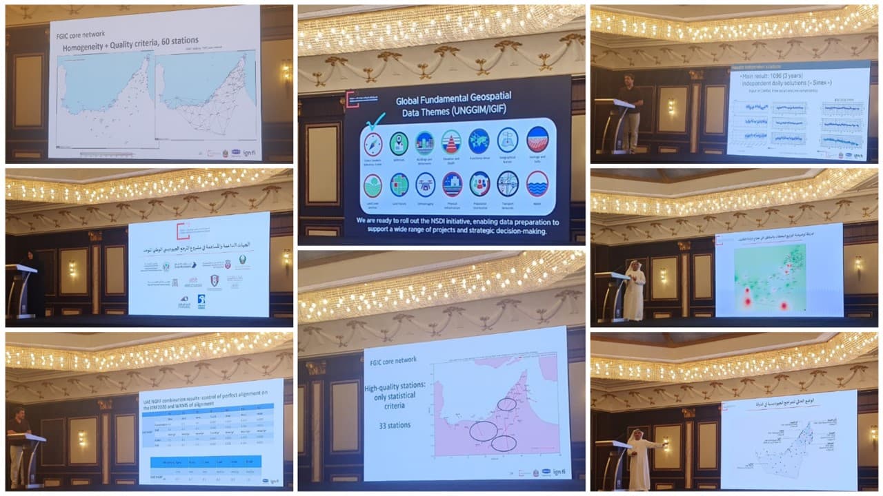
Geodesy is the foundation of all geomatics applications, providing accurate systems for coordinates, elevation, and positioning. A national geodetic reference ensures that spatial data are consistent, reliable, and compatible across different institutions and sectors, supporting critical areas such as land administration, infrastructure development, smart cities, Global Positioning System (GPS) navigation, disaster risk management, and environmental monitoring.
In the United Arab Emirates, several coordinate systems have been used over time, including Nahrwan 1967, World Geodetic System 1984 (WGS 84), World Geodetic System 1972 (WGS 72), and Trucial Coast 1948 (TC1948). While WGS 84 is the main system used today, older systems still exist in historical datasets, highlighting the importance of a unified national geodetic framework to improve data integration, reduce inconsistencies, and enhance collaboration between entities.