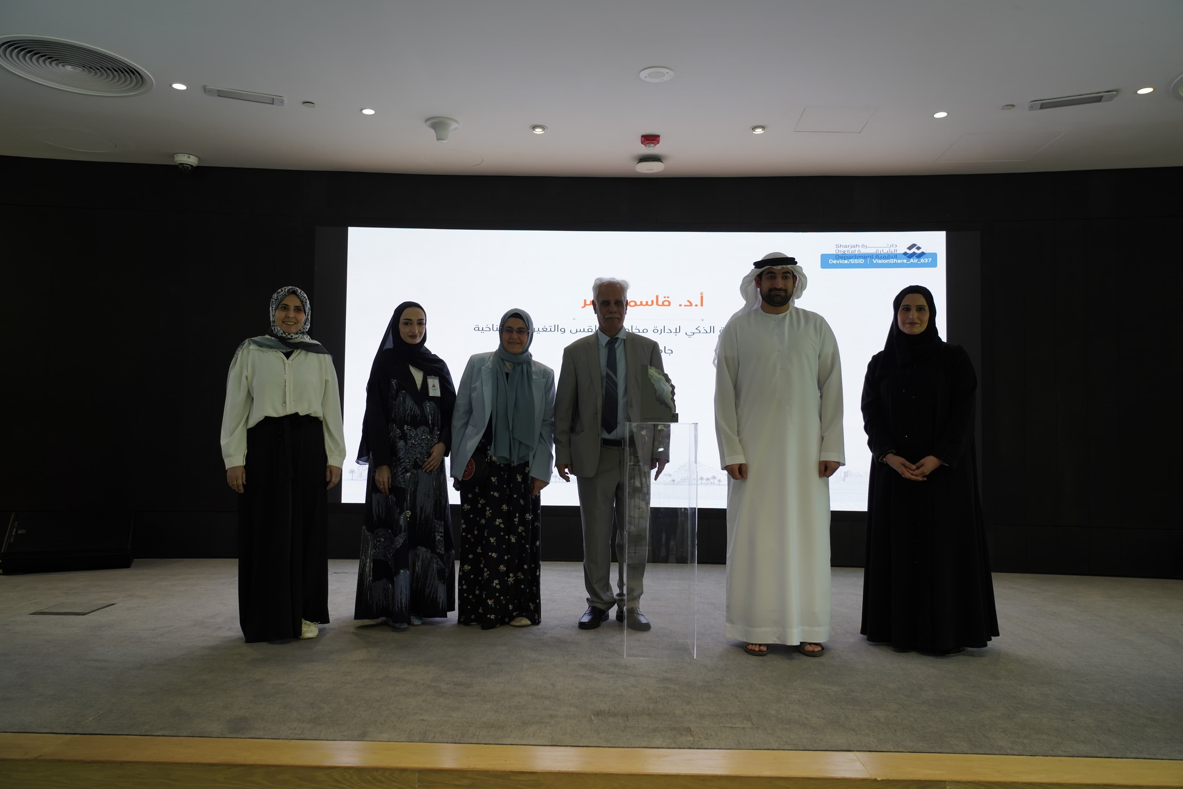
SSCCR Participates in Sharjah GIS Forum 2026
The Sharjah Smart Center for Climate Resilience (SSCCR) at the University of Sharjah participated in the Sharjah GIS Forum 2026, a leading platform that brought together government entities, academic institutions, and industry experts to showcase the latest advancements in geospatial technologies and applications. The forum featured presentations and exhibitions from several prominent organizations, including the Mohammed Bin Rashid Space Centre, Sharjah Police, Agriculture and Livestock Department, and other organizations. The Center was represented by Prof. Qassim Nasir, Director of SSCCR, who delivered a presentation highlighting the Center’s innovative research initiatives in climate resilience, environmental sustainability, and geospatial applications.
During his presentation, Prof. Nasir highlighted a pioneering 2D flood simulation study of the April 2024 flash flood event in Sharjah. Using advanced hydraulic modeling and GIS technologies, the study reconstructed the largest recorded rainfall event in the UAE’s modern history, providing valuable insights into flood behavior, inundation zones, and risk mitigation strategies to support future urban planning and resilience efforts.
The presentation also featured a satellite-based air quality assessment that integrated data from multiple Earth observation platforms to evaluate changes in atmospheric pollutants across the Gulf region. The study demonstrated the potential of geospatial technologies in monitoring environmental conditions and supporting evidence-based policy development.
In addition, Prof. Nasir presented findings from a long-term climate trends and extremes analysis conducted across the UAE. The study identified significant warming trends, increasing frequency of tropical nights, intensifying rainfall events, and the influence of large-scale climate drivers such as ENSO and the Indian Ocean Dipole, emphasizing the need for proactive climate adaptation measures.
The presentation concluded with the introduction of an innovative GIS-enabled salinity monitoring application, currently under development by the Center. The mobile application utilizes ESRI ArcGIS technologies to provide real-time monitoring, visualization, and analysis of groundwater salinity levels, supporting environmental management and sustainable water resource planning.
Through participation in the Sharjah GIS Forum 2026, the Sharjah Smart Center for Climate Resilience reaffirmed its commitment to developing data-driven solutions that enhance climate resilience, support sustainable development, and strengthen collaboration between academia, government entities, and industry stakeholders.