Global
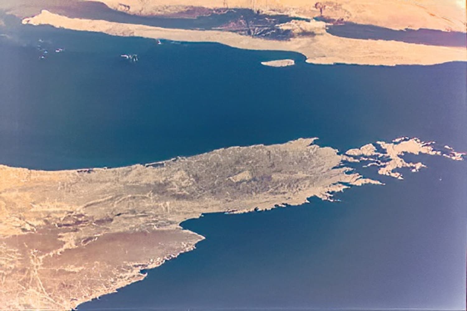
Sharjah-Sat-1 Picture of the UAE
October 31, 2023
09:31:20 GST
Longitude: 55.104⁰
Lattitude 23.001⁰
Latitude: 25.28448 deg
Longitude: 55.4605 deg
Sharjah-Sat-1 captured this image from space at an altitude of 550 Km. The image showcases the Musandam peninsula along with most of Ras Al Khaimah, Fujairah, and some cities of Sharjah Emirates, such as Dibba Alhisn and Khorfakan.
Quick Links
Activity Highlights